SHSG started aero photography in cartography
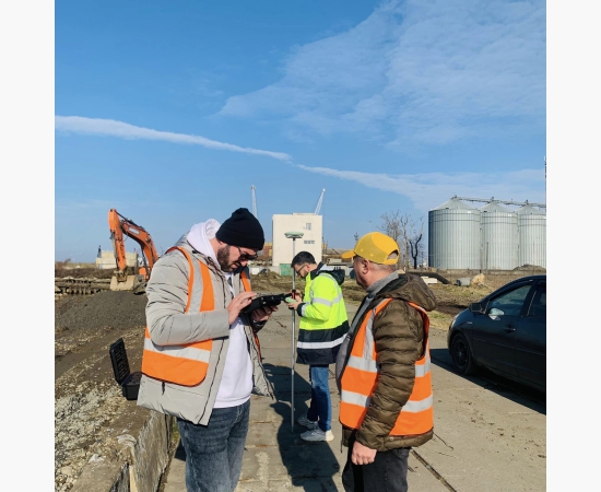


Ministry of Economy and Sustainable Development of Georgia State Hydrographic Service of Georgia has started using aero photography for conducting geodetic measurements and charting.
The data obtained by the usage of above mentioned methods determines geometric characteristics of the objects accurately and visualise their location and interaction in space, hence charting and updating processes become more easier for cartographers.